Technology
5 best spatial analytics and visualizations of 2025
Discover the best spatial analytics of 2025. Learn how industry leaders use CARTO to analyze historical risk, manage real-time operations, and plan for growth.


What is Agentic GIS?
Discover Agentic GIS: AI-powered spatial analysis that automates workflows, amplifies GIS expertise, and delivers actionable geospatial insights.
5 ways to transform spatial analysis for environmental resilience
Discover 5 ways to transform spatial analysis for environmental resilience using cloud-native GIS, automation, and real-time insights.


What is Agentic GIS?
Discover Agentic GIS: AI-powered spatial analysis that automates workflows, amplifies GIS expertise, and delivers actionable geospatial insights.


CARTO's Territory Planning tools for better location decisions
Optimize your strategy with CARTO's Territory Planning Extension! Enable smarter location decisions, balancing territories & improving logistics for efficiency and growth.


.jpg)
Navigate consumer demand with NIQ Purchasing Power Data
Navigate consumer demand with NIQ Purchasing Power Data. Understand consumer spending, optimize location planning, and boost marketing.


Geospatial Sovereignty in the Age of AI: A Layered Approach
Geospatial sovereignty in the AI era: why open formats, flexible compute, and interoperable standards are key to resilient, independent digital infrastructure.


CARTO MCP Server: turn your AI Agents into geospatial experts
Discover how the CARTO MCP Server lets enterprises connect AI agents like ChatGPT & Gemini to geospatial data and workflows via MCP.


Maps with a Mission: Environmental Impact with Spatial Analytics
Let’s dive into how organizations use CARTO to protect biodiversity, advance climate research, manage natural resources, and drive sustainable decision-making.
The first 5 maps everyone needs to make with CARTO
New to CARTO? Start with these 5 essential maps! Learn how to analyze proximity, work with big data, integrate real-time updates, and leverage AI-driven insights.
24 of the best maps, visualizations & analysis from 2024
Discover 24 of the best maps, visualizations, and analyses from 2024! Explore innovations in geospatial data, user-centric tools, & advanced spatial analytics.


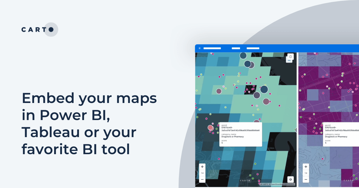
Embed your maps in Power BI, Tableau or your favorite BI tool
Learn how to embed CARTO maps in Power BI, Tableau, and other BI tools to enhance dashboards with interactive spatial data visualization and insights.


Create your expansion strategy with CARTO and Snowflake
Learn how CARTO and Snowflake help you build a winning expansion strategy. Pinpoint ideal locations, leverage spatial analytics & AI for confident growth.
Personalizing services with spatial analytics in Google Cloud
Personalize services at scale with spatial analytics on Google Cloud. Learn how to boost ROI using CARTO for location-based insights.
From selection to consolidation: 6 ways to optimize site planning
Optimize site planning with data, AI, and real-time insights. Discover 6 of the best strategies in this expert guide from CARTO.
Telco dashboards: Turning accessible data into actionable insights
Discover how CARTO enhances data accessibility, empowering decision-makers with actionable insights to improve network access for senior citizens and communities.
Spatial analysis & visualization for more intelligent tourism planning
Discover how spatial data analysis and visualization empowers tourism organizations to personalize experiences, optimize resources & make strategic decisions.


Urban Mobility Insights with MovingPandas & CARTO in Snowflake
Learn how integrating MovingPandas with CARTO in Snowflake boosts urban mobility analysis by uncovering traffic hotspots and optimizing city transportation.

Academy
5 best spatial analytics and visualizations of 2025
Discover the best spatial analytics of 2025. Learn how industry leaders use CARTO to analyze historical risk, manage real-time operations, and plan for growth.


What’s new in CARTO - Q4 2025
Discover what’s new in CARTO Q4 2025, including Agentic GIS, AI-powered spatial analysis, MCP tools, analytics on embeddings, and enterprise governance updates.
The State of Spatial Analytics 2026 - Register interest!
Key findings from the survey reveal major changes since 2024. Register interest now and get early access to the State of Spatial Analytics 2026 Report.


.png)

.png)
.png)
.png)
.png)
.png)
.jpg)
.png)


.png)
.png)


.jpg)


.png)

