

CARTO
.png)


Cotality’s Location Intelligence Insights - now in CARTO
Explore Cotality’s US Location Intelligence data in CARTO - now available via Data Observatory for fast, actionable spatial insights at scale.
.jpg)


Maps with a Mission: Environmental Impact with Spatial Analytics
Let’s dive into how organizations use CARTO to protect biodiversity, advance climate research, manage natural resources, and drive sustainable decision-making.
5 ways to transform spatial analysis for environmental resilience
Discover 5 ways to transform spatial analysis for environmental resilience using cloud-native GIS, automation, and real-time insights.
.png)

What’s New in CARTO - Q2 2025
Discover CARTO's Q2 2025 updates - new features for smarter maps, team collaboration, automation, and scalable spatial analysis in the cloud.


Seamlessly integrate Google Earth Engine with CARTO Workflows
Seamlessly integrate Google Earth Engine with CARTO Workflows to analyze spatial data at scale - no coding required. Unlock powerful geospatial insights today!


Unlock raster analytics & visualizations - now in your lakehouse!
Unlock raster analytics in your lakehouse! Analyze & visualize raster data natively in CARTO for unmatched scalability, efficiency & cost savings.
.png)
The first 5 maps everyone needs to make with CARTO
New to CARTO? Start with these 5 essential maps! Learn how to analyze proximity, work with big data, integrate real-time updates, and leverage AI-driven insights.

24 of the best maps, visualizations & analysis from 2024
Discover 24 of the best maps, visualizations, and analyses from 2024! Explore innovations in geospatial data, user-centric tools, & advanced spatial analytics.
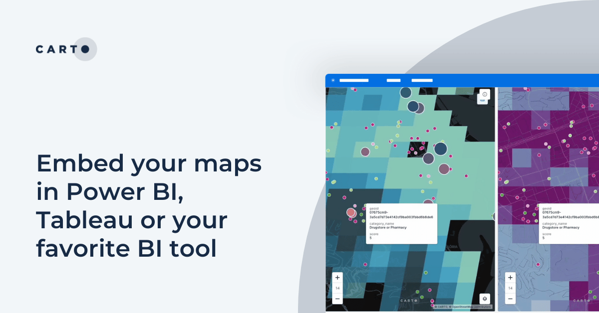
Embed your maps in Power BI, Tableau or your favorite BI tool
Learn how to embed CARTO maps in Power BI, Tableau, and other BI tools to enhance dashboards with interactive spatial data visualization and insights.

Introducing CARTO Heatmaps for Big Data Visualization
Enhance your big data visualization with CARTO's heatmap style! Learn how to impactful, large-scale heatmaps with this guide.


New CARTO Boundaries for faster visualizations in spatial apps
Announcing CARTO Boundaries for faster spatial app visualizations! Join data with pre-generated vector tilesets for efficient processing.
.png)


Announcing Deck.gl v9: WebGPU ready & with TypeScript support
Announcing Deck.gl v9! Get ready for next-gen geospatial rendering, including TypeScript support & preparation for WebGPU.
.png)

Cloud-native Life Sciences analytics with CARTO & Snowflake
Optimize Life Sciences analytics with cloud-native geospatial solutions using CARTO & Snowflake. Scale data insights for improved decision-making.
.png)
What is Supply Chain Network Design and How Does It Work?
Improve your supply chain network design! Use spatial analysis to optimize your supply chain design for cost savings, efficiency, resilience & sustainability.


.png)

.png)


Academy
Cotality’s Location Intelligence Insights - now in CARTO
Explore Cotality’s US Location Intelligence data in CARTO - now available via Data Observatory for fast, actionable spatial insights at scale.
What’s New in CARTO - Q2 2025
Discover CARTO's Q2 2025 updates - new features for smarter maps, team collaboration, automation, and scalable spatial analysis in the cloud.

Create your expansion strategy with CARTO and Snowflake
Learn how CARTO and Snowflake help you build a winning expansion strategy. Pinpoint ideal locations, leverage spatial analytics & AI for confident growth.