

Use cases


Improving Healthcare Access with BigQuery Tiler
Identifying high impact health facility locations with CARTO's BigQuery Tiler & open-sourced geospatial Big Data.


Using Location Intelligence to Combat Litter with PMI
In partnership with Philip Morris International, Litterati, & Cortexia, read how Spatial Data is being used to combat litter beginning with Lisbon, Portugal.

Map of the Month: Coffee Supply Chain Traceability
For our Map of the Month read how Enveritas use CARTO to analyze the traceability & sustainability of coffee supply chains around the world.

Fintech Spatial Data Science Masterclass with J.P.Morgan
Read a summary of the DeepFin (where Fintech meets Deeptech) Investor Masterclass we recently held with J.P.Morgan, a leading global financial services firm.

Where Do Expats Invest in Property on the Spanish Coast?
See how idealista used geospatial analysis & real estate location data to uncover fascinating insights on coastal property demand in Spain

Using Location Intelligence to return to Valencian beaches
Play&go with the collaboration of dotGIS develops an app using CARTO's platform to ensure health & safety on the beaches of Valencia, Spain.

Building COVID-19 Dashboards with Google BigQuery
See how private & public sector organizations use Google Cloud Platform with CARTO to share insights & map visualizations relating to the coronavirus pandemic.


Retail Data Analytics: Social & Credit Card Data
Within Retail Data Analytics we combine social media & credit card data to see how retailers can gain key market insights, optimize footprints, & boost sales.
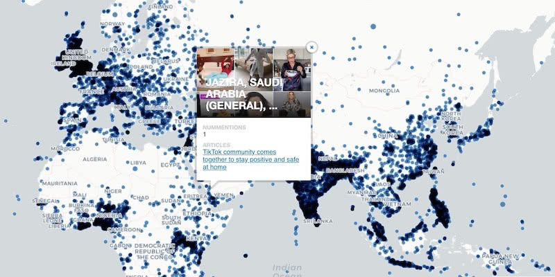
Google BigQuery Visualization: Mapping Big Spatial Data
The GDELT Project describe how to use Google BigQuery to visualize their dataset of online news coverage focusing on COVID-19

Google Analytics Spatial Data Visualized with BigQuery
Our partner Liveli takes a look at how to visualize spatial data from Google Analytics using BigQuery, gaining deeper insights from website traffic.

Comparative Market Analysis Real Estate: Twin Areas
With many retailers consolidating stores & focusing on curbside pickup, comparative market analysis real estate can identify twin areas to maximize revenue.

What Geospatial Analysis tells us about Meatpacking & COVID-19
One of our partners, makepath, describe how to use multiple open source spatial libraries for COVID-19 analysis focusing on the US meatpacking industry.

Academy


CARTO & Snowflake: Location Intelligence for Energy and Utilities
CARTO and Snowflake expanding cloud-native Location Intelligence for Energy and Utility organizations, unifying IoT data for resilient operations.
Nagarro & CARTO: Advancing Enterprise AI Transformation
CARTO and Nagarro partner to help enterprises move AI from pilots to production, embedding Location Intelligence into existing workflows and systems.


Unlock trade-area analysis at scale with H3 Isochrones
Scale travel-time analysis with H3-based isochrones in CARTO. Faster joins, overlap insights, and 96–99% time savings powered by TravelTime.