Discover how to scale your analytical workflow & access massive geospatial datasets with Google Cloud & CARTO & the general availability of BigQuery Tiler
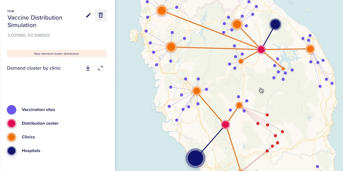
As COVID vaccines become more widely available we look maps analyzing the rollout & supply chain optimization for an efficient & equitable immunization strategy
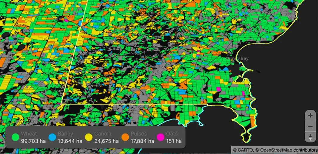
Read how our partner NGIS built a spatial web application, CroppingHub, to detect crop types & predict crop yield using cloud computing & machine learning
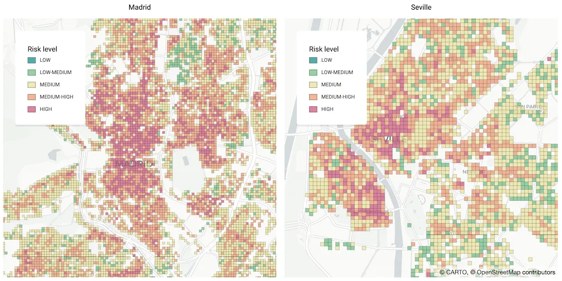
As many parts of the world enter into recession following the Coronavirus pandemic, read how Spatial Data Science can help identify areas with a greater risk
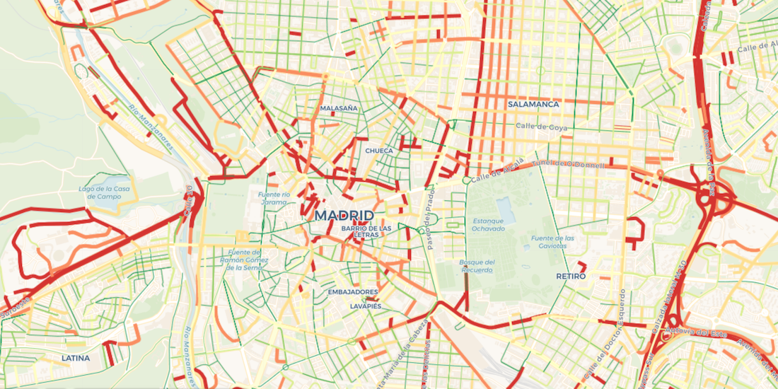
Learn how to import Waze for Cities traffic big data into CARTO using our Google BigQuery Connector for easy analysis & visualization in our step by step guide
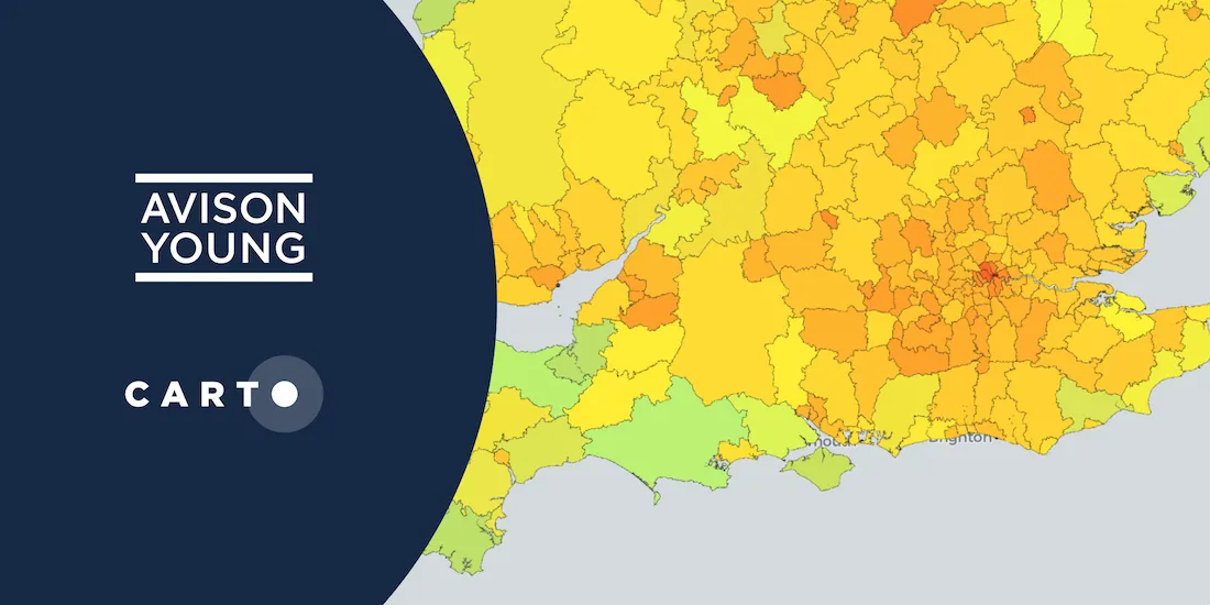
Explore Avison Young's UK Cities Recovery Index, monitoring commercial real estate rebound post-pandemic, analyzing diverse sectors, and predicting recovery trajectories.
With COVID-19 vaccines requiring strict storage, ensuring an efficient cold chain transportation network using spatial will be key for effective distribution