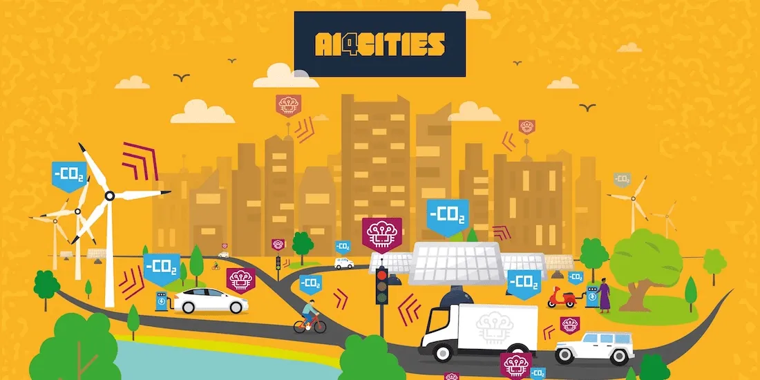
We are pleased to announce that we have been selected to participant in AI4Cities, a project to help cities accelerate their transition towards carbon neutrality
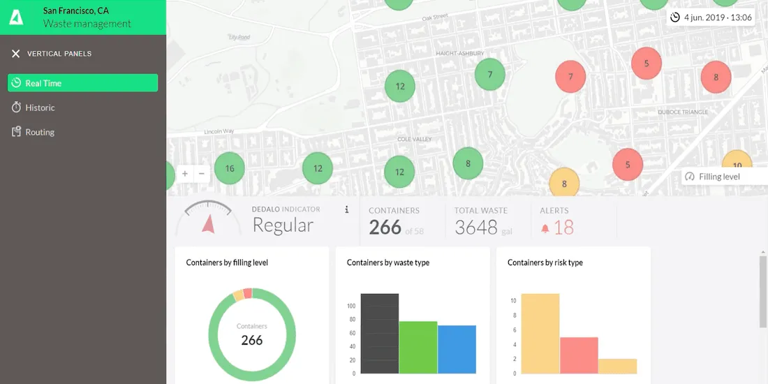
The pandemic has significantly affected waste management in our cities - read how Location Intelligence can be used to optimize collection & reduce costs.
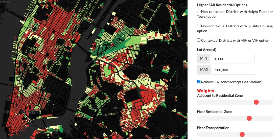
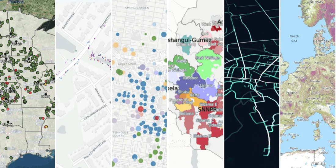
How can Location Intelligence be used for Sustainability? Discover some examples including sustainability for agriculture, environment, mobility, cities, & more
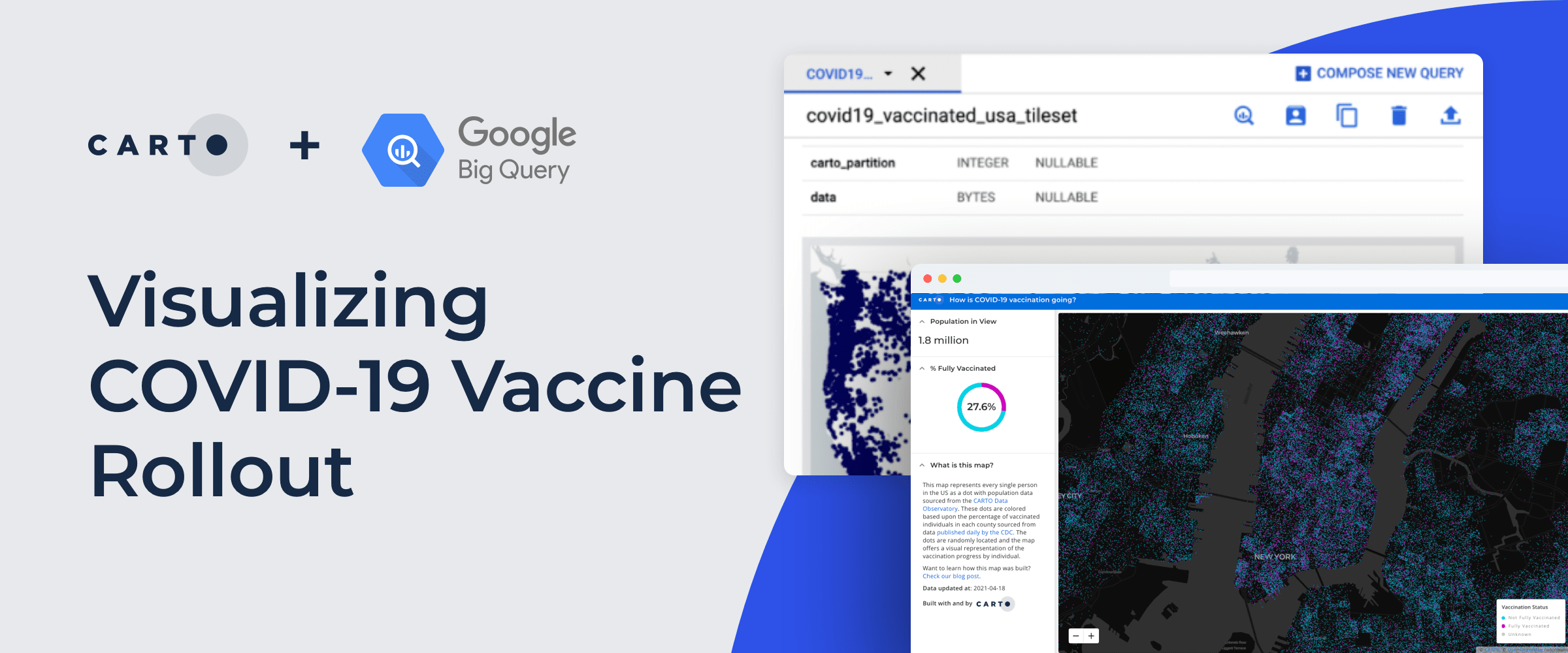
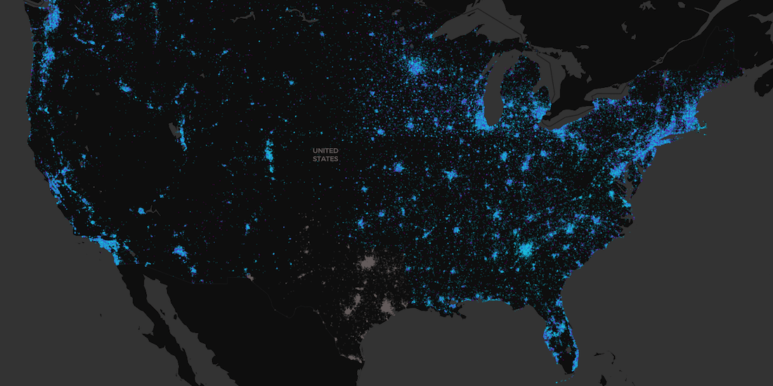
Recently we published a map to track the COVID-19 vaccination rollout in the US–learn how this Cloud Native Spatial App was developed using CARTO & Google Cloud
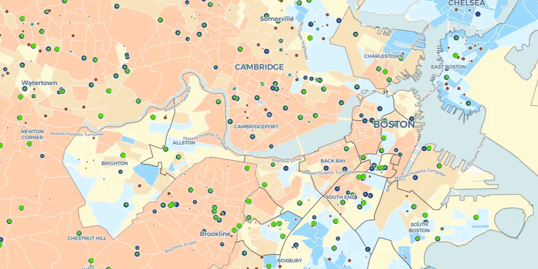
How is vaccination progressing in the US at an individual level? Find out using our interactive COVID vaccination tracker app visualizing every person in the US
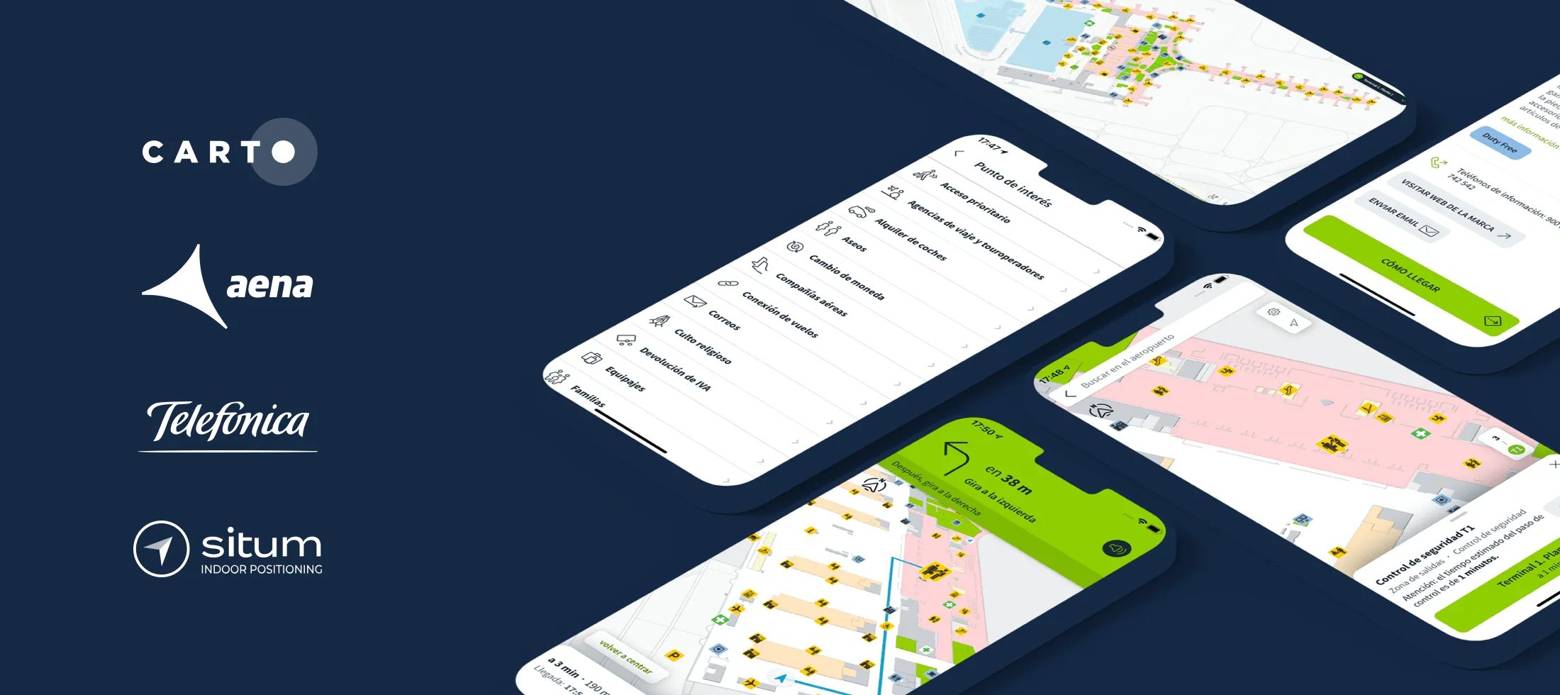
AenaMaps, a solution developed by CARTO, Telefónica, & Situm, leveraging indoor mapping to provide navigation within Aena's airports expands to Barcelona
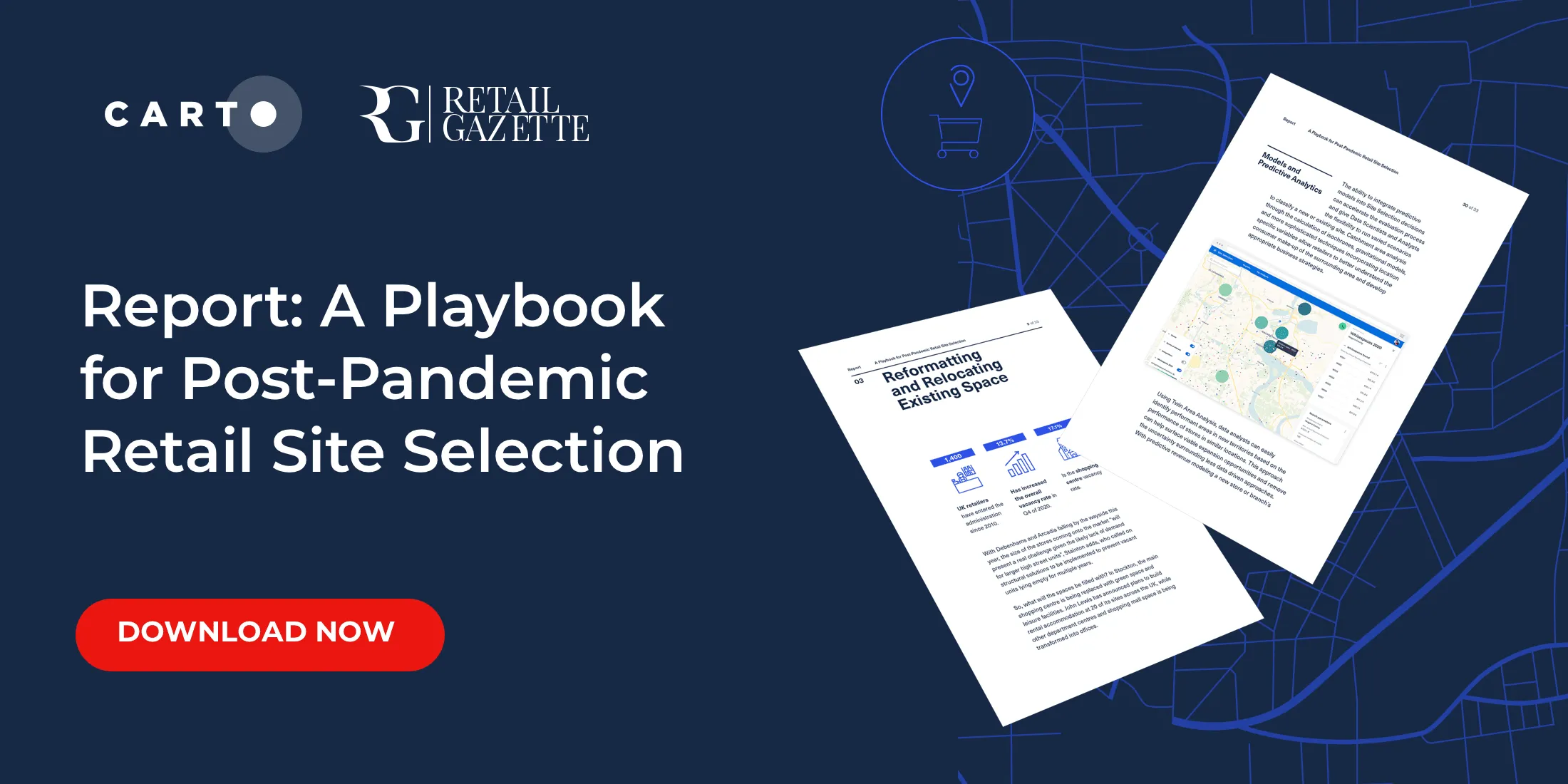
Download our new report on site selection strategies & how location data & advanced spatial analysis can help retailers adapt & thrive in a post pandemic world
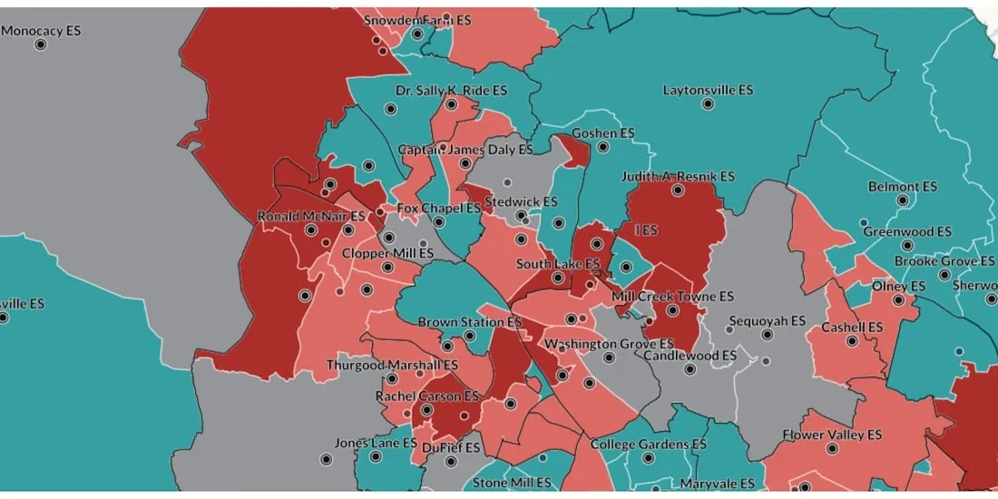
Read how WXY, an architecture, urban design, & planning firm, built an interactive school district dashboard for Montgomery county using the CARTO platform