Kanye West's partnership with Gap generated a lot of buzz but how has it affected in store sales & visitation? Find out using maps & behavioral spatial data.
As the world’s population ages, discover how Assisted Living Facility owners & Private Equity can use CARTO for Site Selection to identify new optimal locations
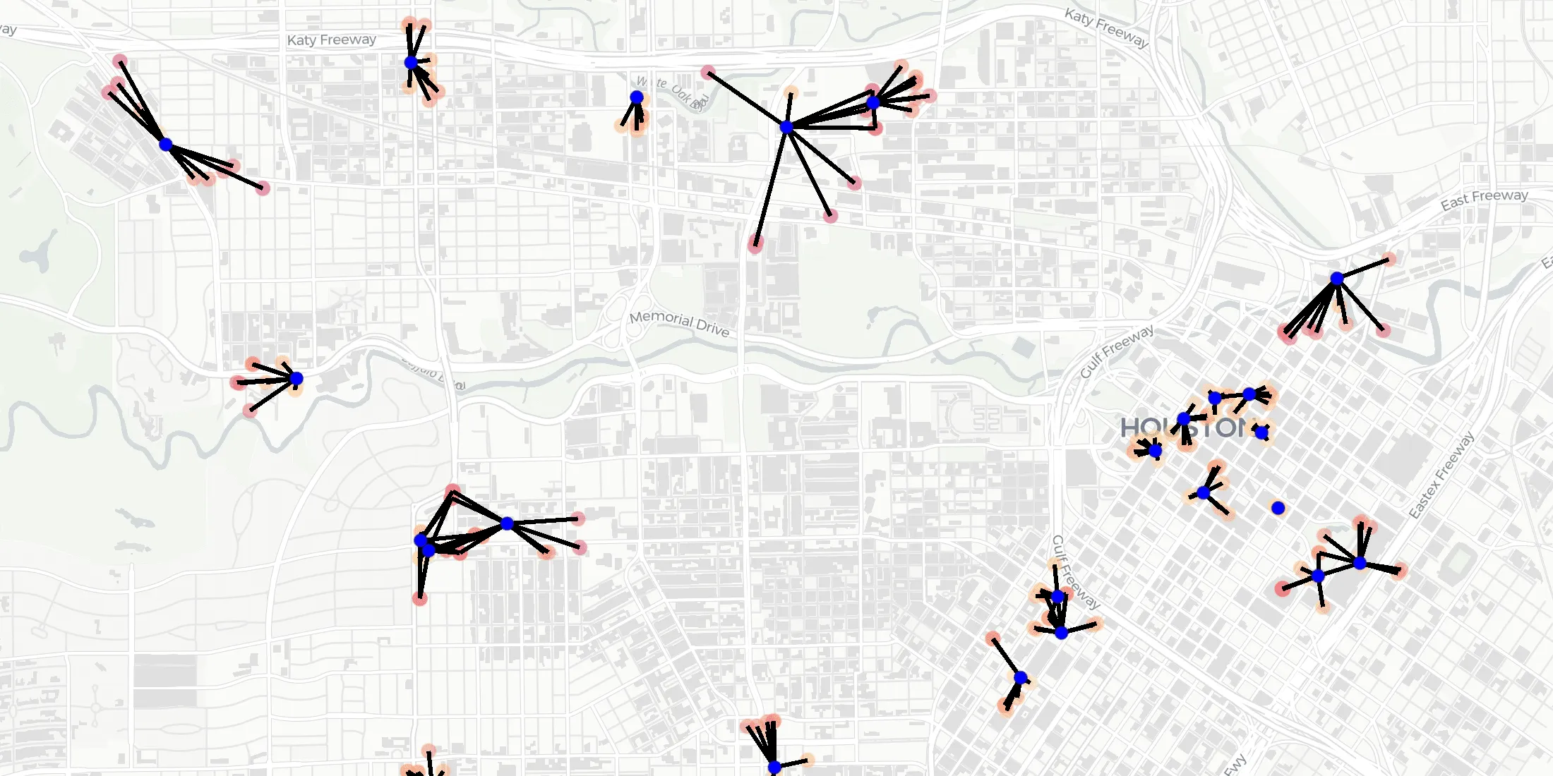
We are pleased to introduce 3 new functions for point data analysis in our Analytics Toolbox for Google Cloud BigQuery: K-nearest neighbors, Local Outlier Factor, & G-function
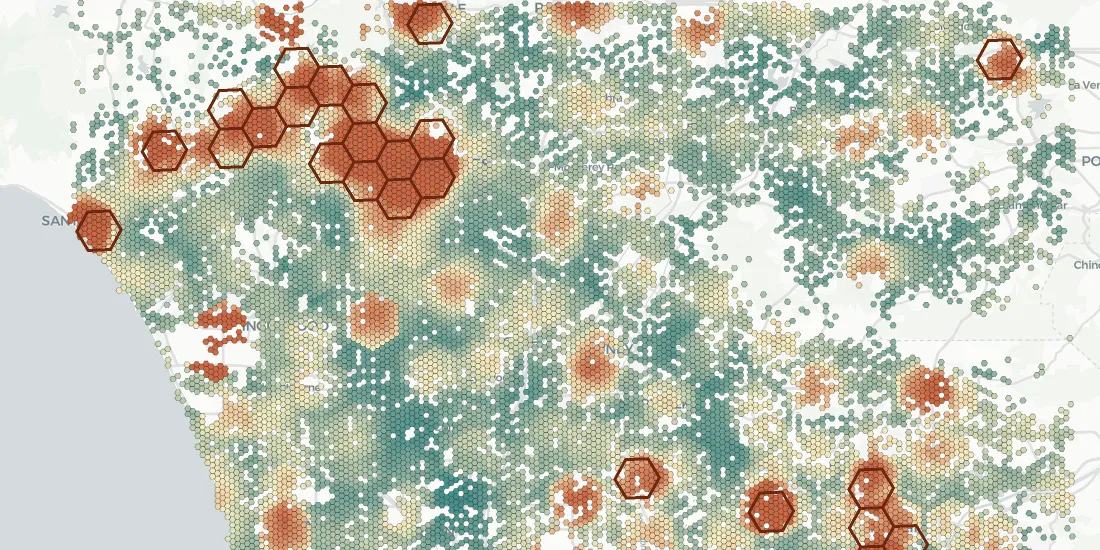
Discover how retailers can evaluate Black Friday & holiday sales performance using hotspot analysis, Safegraph foot traffic data, and the CARTO platform.
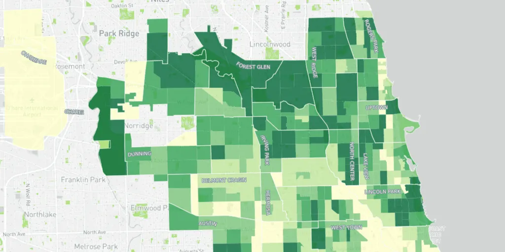
Learn how the University of Chicago built a tree equity solution to understand the impact that tree canopy cover has on social & health outcomes in the city of Chicago.
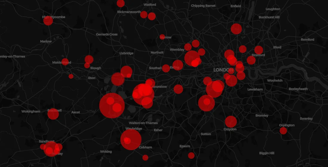
Earlier this year many petrol stations in some parts of the UK ran out of fuel. Discover what location data can tell us about the real story behind the long queues.
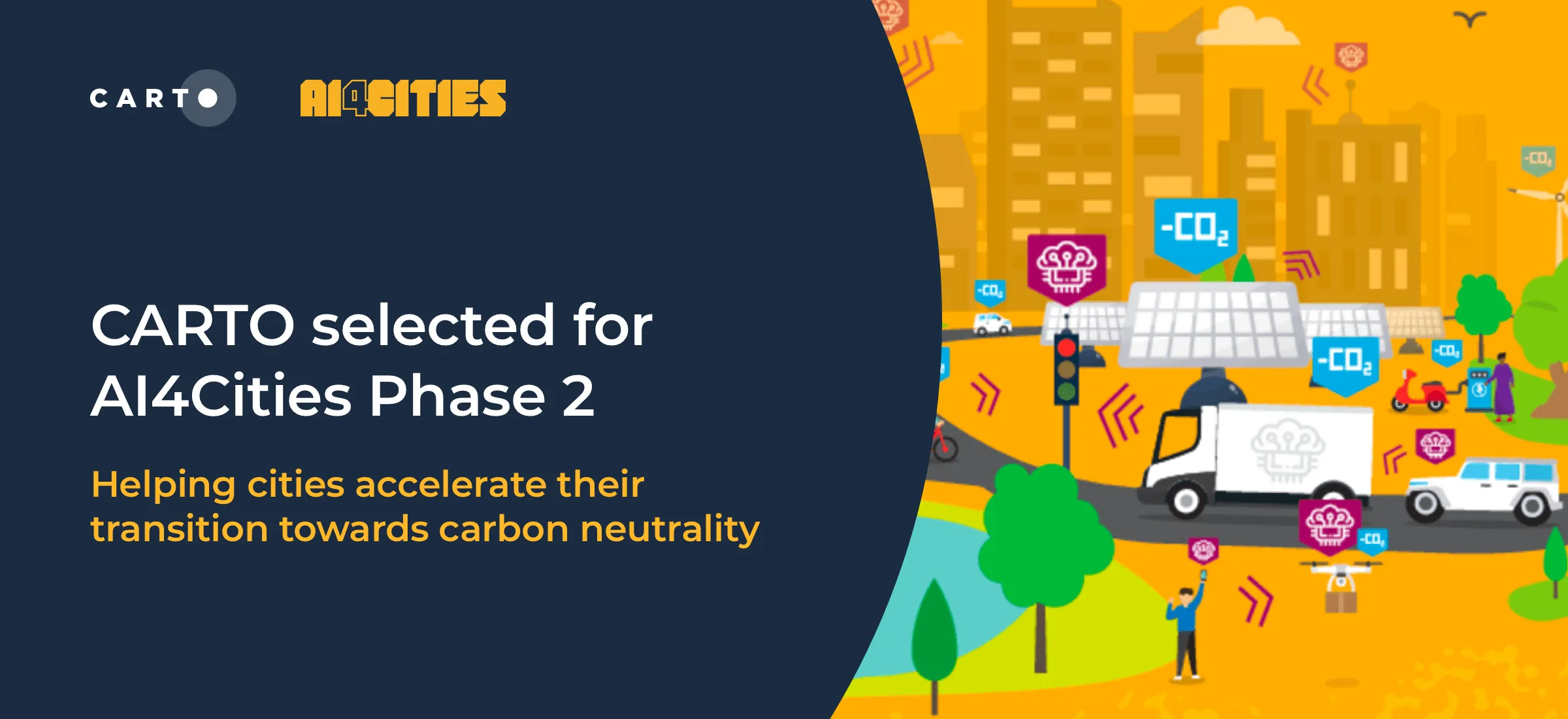
We are pleased to announce that we have been selected to participant in phase 2 of AI4Cities, a project to help cities accelerate their transition towards carbon neutrality
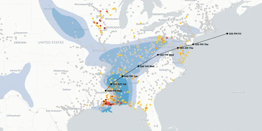
Climate change is contributing to extreme weather with increasing bursts of hurricanes, wildfires, & floods. See how maps can help plot, predict, & protect.
The disruption of global trade flows & a shortage of drivers has led to a global supply chain crisis. Read how Location Intelligence can be a road out of the crisis.