Mitigate wildfire risks with our guide on creating a Wildfire Risk Map. Explore spatial analysis using Weather Source & CARTO for informed decision-making.
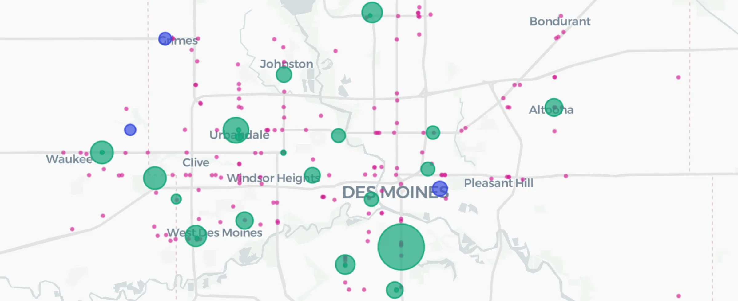
Discover how to use CARTO's Analytics Toolbox for Google BigQuery to train a spatial predictive model to predict annual store revenues across a territory
We are pleased to announce that the CARTO Analytics Toolbox for BigQuery now supports the Geographically Weighted Regression method–read about its usage.