Learn more about our integration with Placekey, enabling universal standard identifiers for any physical place to be used with spatial analysis & visualization.
Snowflake users can now easily import large spatial datasets from the cloud into CARTO, becoming the first Location Intelligence platform with native support.
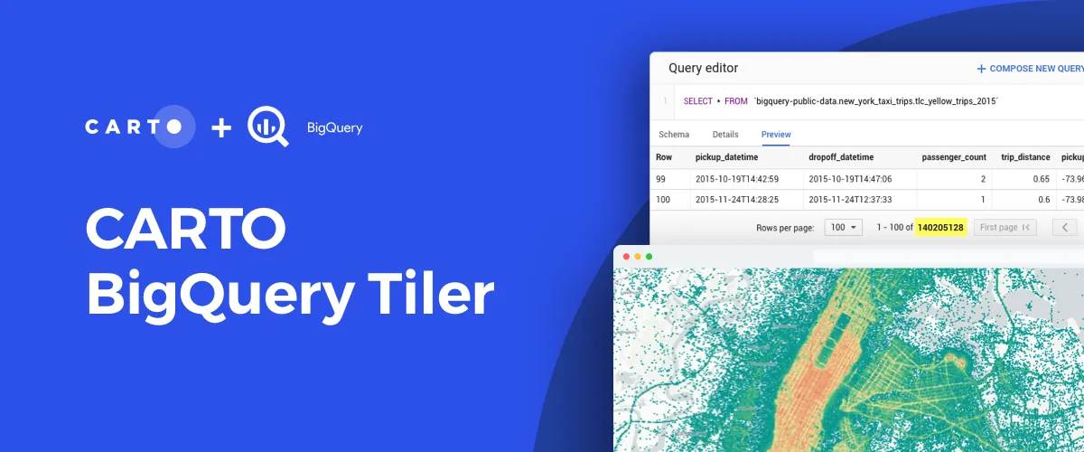
Discover CARTO BigQuery Tiler, the only solution to visualize large location datasets straight out of Google BigQuery. Start creating stunning maps in minutes.
Following the introduction of the Direct SQL Connection read how Databricks can be integrated into the CARTO platform to further empower Data Scientists.
Kepler.gl and CARTO users can now work seamlessly across both tools. Our integration adds a new cloud storage feature to Kepler.gl, allowing users to share and save maps privately using CARTO.
Celebrating the top stories, tips and tricks, tech updates, and of course, cool maps from around the worlds of Location Intelligence and Spatial Data Science
If you're trying to find a Google Fusion Tables alternative, CARTO has you covered. Keep mapping and much more with our full stack Location Intelligence platform.
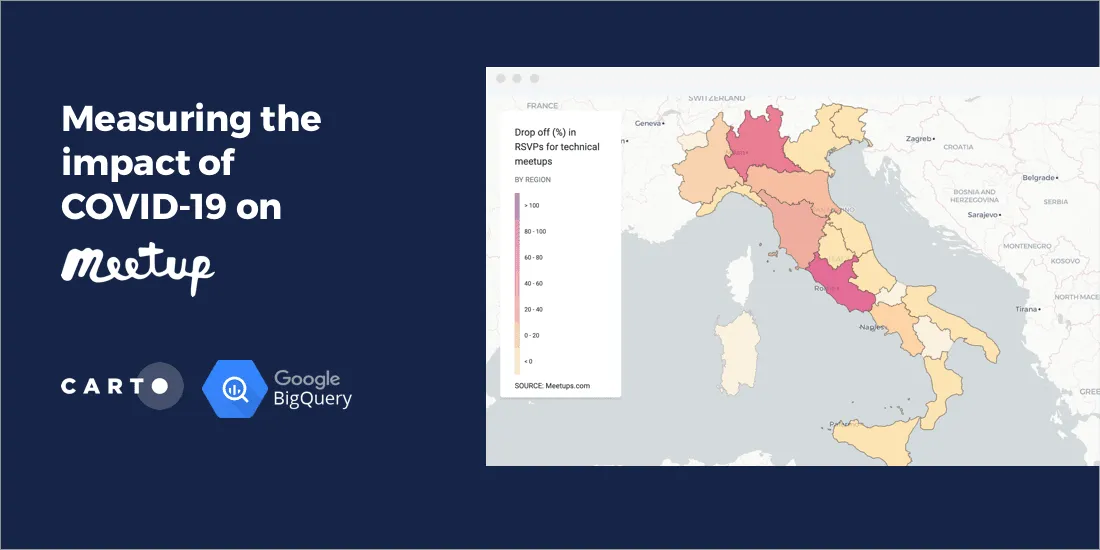
CARTO is working very closely with the Google BigQuery team, bringing in new spatial functions and supporting the creation of a next generation spatial data infrastructure stack.