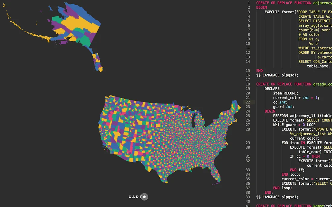
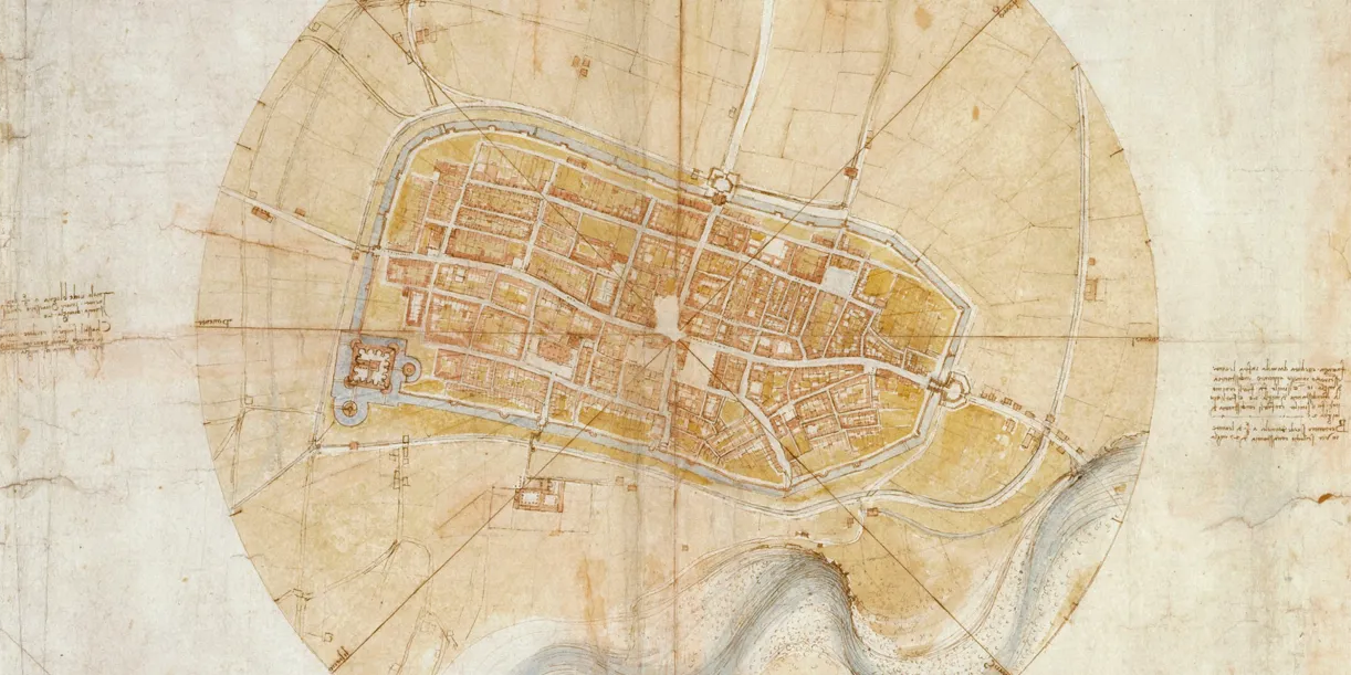
Unless you're Leonardo da Vinci, being both an artist and a scientist doesn't come naturally, so we've found two maps that demonstrate how colors, labels, boundaries, and symbols can help you create a powerful map.
We've scoured the web in search of data visualizations showing the value of location data in its many varieties, and have compiled this list to bring you the very best examples.
These four historical maps reveal that innovations in a map's perspective, data, and aesthetics all contributed to the complex five-decade evolution of location intelligence.