


CARTO & Snowflake: Location Intelligence for Energy and Utilities
CARTO and Snowflake expanding cloud-native Location Intelligence for Energy and Utility organizations, unifying IoT data for resilient operations.


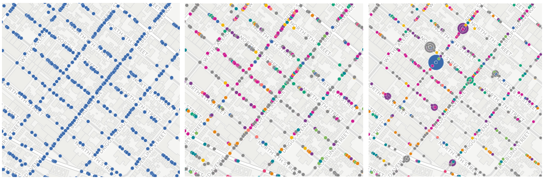
Creating Animated Maps with CARTO Builder
Explore the power of Torque.js, offering innovative geospatial data aggregation for both time and space. Animate and analyze data trends effortlessly!


Hurricane Season 2016: Locating Resiliency in Sandy's Aftermath
CARTO aids NYC's Mayor's Office in tackling climate change, visualizing risks, and preventing disasters like Hurricane Sandy. Explore OneNYC's efforts.

The Revolution will be Visualized: CARTO joins PREP
Discover CARTO's role in the Partnership for Resilience and Preparedness (PREP), empowering global climate resilience planning.

CARTO’s Open Data Week 2016 Preview
Immerse yourself in the world of Open Data at CARTO's Madrid event! Engage with global innovators, explore workshops, and join discussions.

Geospatial Learning Across the Curriculum at NYU
NYU collaborates with CARTO to enhance GIS learning, enabling students to utilize location intelligence across disciplines.


Boom or Bust! What Enigma’s newest project tells us about the economy of North Dakota
Explore Enigma's Boom or Bust project, delving into North Dakota's economy using CARTO for compelling visual storytelling.

Academy
CARTO & Snowflake: Location Intelligence for Energy and Utilities
CARTO and Snowflake expanding cloud-native Location Intelligence for Energy and Utility organizations, unifying IoT data for resilient operations.
Nagarro & CARTO: Advancing Enterprise AI Transformation
CARTO and Nagarro partner to help enterprises move AI from pilots to production, embedding Location Intelligence into existing workflows and systems.


Unlock trade-area analysis at scale with H3 Isochrones
Scale travel-time analysis with H3-based isochrones in CARTO. Faster joins, overlap insights, and 96–99% time savings powered by TravelTime.

