


CARTO & Snowflake: Location Intelligence for Energy and Utilities
CARTO and Snowflake expanding cloud-native Location Intelligence for Energy and Utility organizations, unifying IoT data for resilient operations.


CARTO + Kepler.gl: Two Tools, One Workflow
Kepler.gl and CARTO users can now work seamlessly across both tools. Our integration adds a new cloud storage feature to Kepler.gl, allowing users to share and save maps privately using CARTO.


CARTO Provides Free Visualization Software for Organizations Fighting COVID-19
The CARTO Grants for Good program gives organizations fighting COVID-19 access to our platform for mapping & visualization of the outbreak

Mapping Coronavirus Impact on Events & Conferences
A look at the effect that Coronavirus (COVID-19) is having on tech events and conferences around the world

Doorda in CARTO: UK Demographics, Socio-economic Data, and More
Trusted, business-ready data for the UK is now available in CARTO through our partnership with Doorda. These datasets will reduce data cleaning and prep time and allow you to get straight to analysis.

5 Facts: Out of Home Advertising in 2020
5 facts that show that Out Of Home is the future of the advertising industry

US Social Determinants of Health Atlas - Map of the Month
Leveraging Spatial Analysis techniques, researchers from the University of Chicago and the AHA worked to define and visualize the social determinants of health in America.

Real Estate Market Analysis: Top 5 Data Streams
Real Estate Market Analysis needs to be data-driven, and given the spatial nature of Real Estate investment, you want the data that you are leaning on to be spatial data

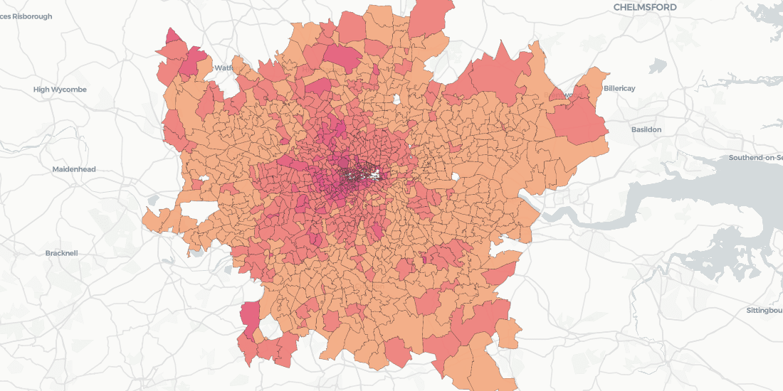
Data Visualization: The Spread of Coronavirus
Visualizing data in emergency situations, like the spread of coronavirus, can provide decision makers with the insight needed to inform rapid response plans.

Enrich Spatial Analysis with Landgrid's Nationwide Parcel Data
Landgrid brings their nationwide parcel data, which Boasts over 143 million land parcels across 2,800 counties, to the CARTO Data Observatory
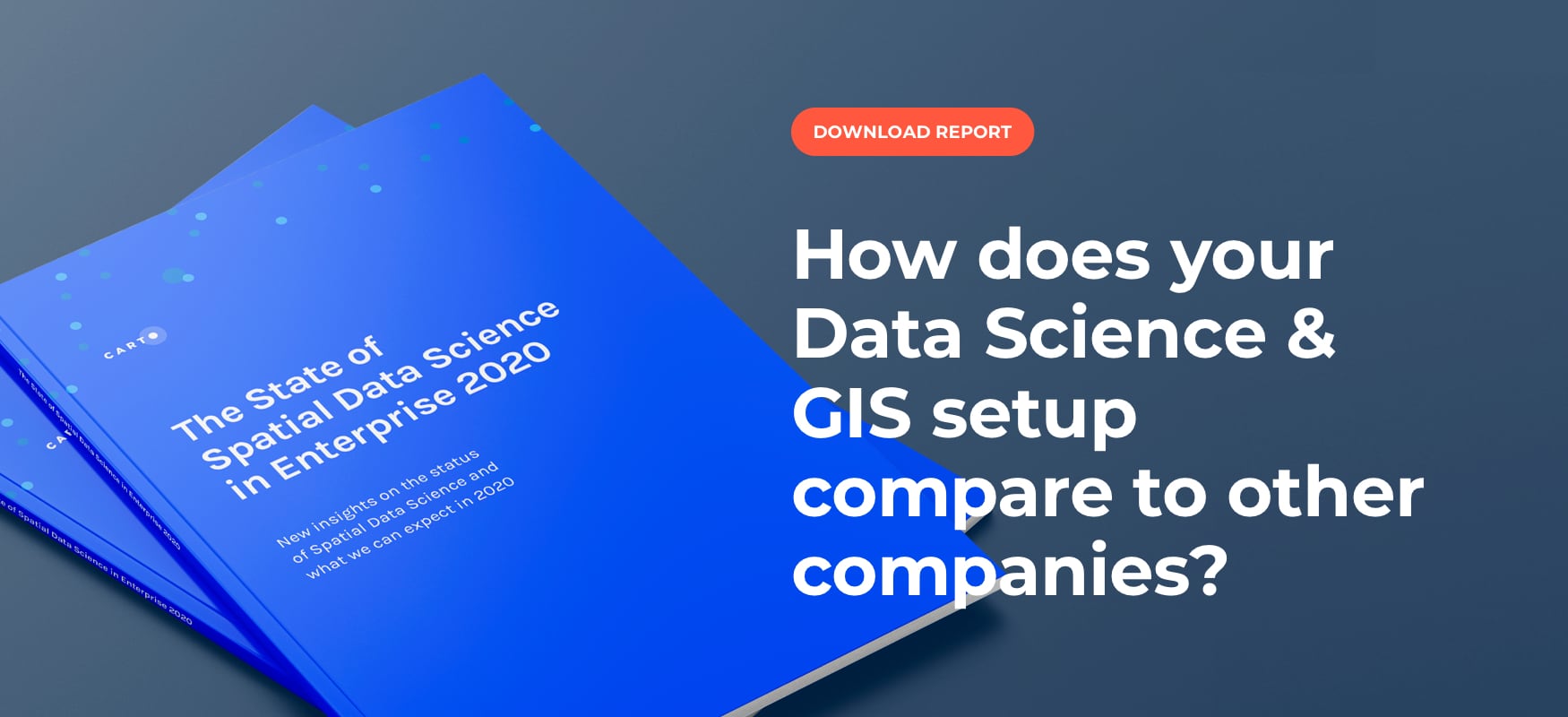
Top 3 Insights from The State of Spatial Data Science 2020
Discover key insights from our survey of how enterprise leaders from industries like Real Estate, Financial Services, Advertising and more are engaging with Spatial Data Science in 2020

Tackling Customer Churn for Utilities with Spatial Modeling
Spatial Data Science modeling can help Utilities companies to dramatically reduce customer churn and save millions in recurring revenue.

Speed up your spatial analysis with CARTOframes 1.0
CARTOframes is the go-to tool for powering analysis with spatial insights and efficiently working with spatial data and spatial models

Academy
CARTO & Snowflake: Location Intelligence for Energy and Utilities
CARTO and Snowflake expanding cloud-native Location Intelligence for Energy and Utility organizations, unifying IoT data for resilient operations.
Nagarro & CARTO: Advancing Enterprise AI Transformation
CARTO and Nagarro partner to help enterprises move AI from pilots to production, embedding Location Intelligence into existing workflows and systems.


Unlock trade-area analysis at scale with H3 Isochrones
Scale travel-time analysis with H3-based isochrones in CARTO. Faster joins, overlap insights, and 96–99% time savings powered by TravelTime.

