


CARTO & Snowflake: Location Intelligence for Energy and Utilities
CARTO and Snowflake expanding cloud-native Location Intelligence for Energy and Utility organizations, unifying IoT data for resilient operations.


Cost of Living Crisis: Location Intelligence for Energy Efficiency
Improved availability & analytics of residential energy performance data will be a powerful tool to help during this crisis. Learn more & see it in action.

How Yale Climate Connections Uses Spatial Visualization for Community Engagement
See how Yale Climate Connections used CARTO to create a spatial visualization that shares local stories to help explain climate change.


CARTO and Google Cloud Announce Climate Insights for Infrastructure
Today, we are proud to announce in conjunction with Google Cloud, the availability of an innovative climate insights offering for infrastructure.


Spatial Data Monetization Guide: 3 Tips for Success
Wondering if you should offer data as a product? Read this spatial data monetization guide. It includes 3 tips for developing a data monetization strategy.

A Recap of #SDSC22 London
Miss the Spatial Data Science Conference in London? Here’s a quick recap as well as information about #SDSC22 taking place in New York City this fall.

CARTO Joins Databricks at Data+AI Summit
“We’re excited to be sponsoring, attending & presenting at the 2022 Data+AI Summit hosted by Databricks in SF! Learn about the conference at our sessions here."

How ASDA Uses Location Intelligence for Site Selection
Interested in learning how using Location Intelligence can boost your site selection strategy as a retailer? See how ASDA uses this data to make informed expansion decisions.

Ghost Kitchens: Predictive Location Intelligence
CARTO uses Location Intelligence to predict locations of one of the hottest trends in food delivery - ghost kitchens.


Procedural joins CARTO
Learn how this 3D mapping library will help take the visualization capabilities of CARTO’s Location Intelligence Platform to new heights.
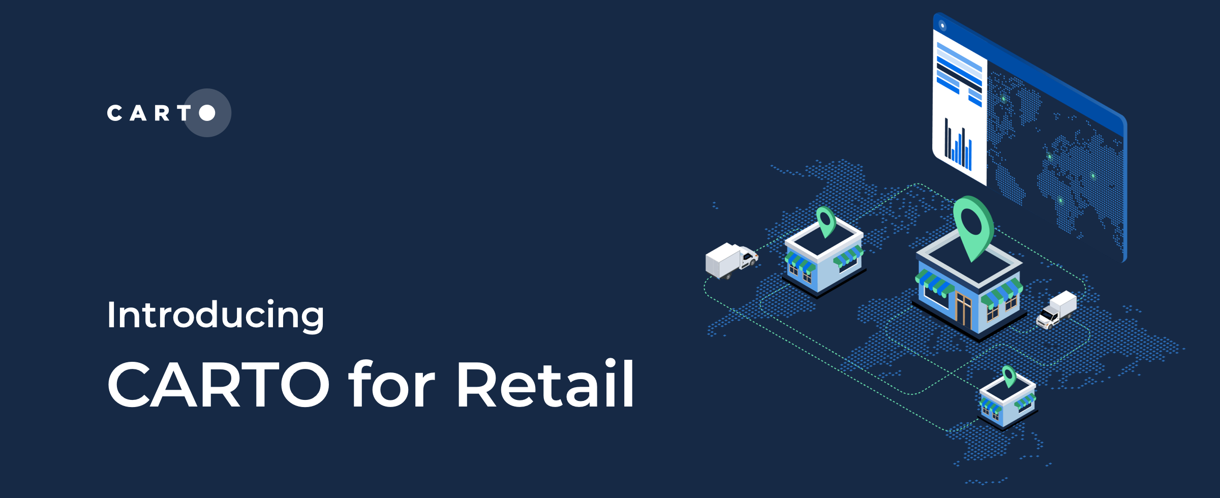

CARTO for Retail, the Spatial Analytics Platform for Global Retailers
We’re excited to introduce CARTO for Retail - the integrated Spatial Analytics Platform for Global Retailers! Learn about our new solution here.

5 Reasons Why OOH Professionals Are Turning to Location Intelligence
“More people in OOH advertising are incorporating GIS & location intelligence data into their media planning. Discover 5 advantages of making data-driven campaigns.”
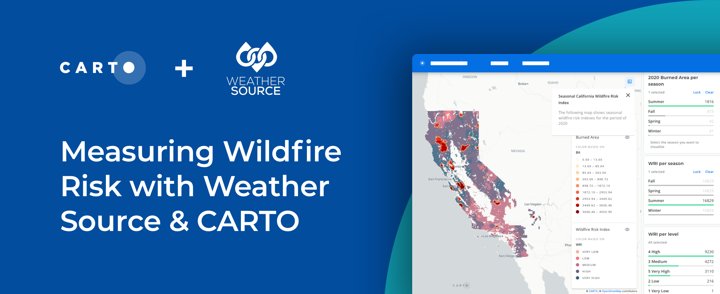


How to Use Spatial Data to Create a Wildfire Risk Map
Mitigate wildfire risks with our guide on creating a Wildfire Risk Map. Explore spatial analysis using Weather Source & CARTO for informed decision-making.

Academy
CARTO & Snowflake: Location Intelligence for Energy and Utilities
CARTO and Snowflake expanding cloud-native Location Intelligence for Energy and Utility organizations, unifying IoT data for resilient operations.
Nagarro & CARTO: Advancing Enterprise AI Transformation
CARTO and Nagarro partner to help enterprises move AI from pilots to production, embedding Location Intelligence into existing workflows and systems.


Unlock trade-area analysis at scale with H3 Isochrones
Scale travel-time analysis with H3-based isochrones in CARTO. Faster joins, overlap insights, and 96–99% time savings powered by TravelTime.

