Towards Sovereign Geospatial Foundation Models for Europe


Geospatial foundation models are quickly becoming a critical layer of infrastructure. They encode how we understand places, movement, and human activity — and whoever builds them shapes the assumptions, priorities, and biases baked into that understanding.
Today, the most visible geospatial foundation models come from US-based organizations. Google’s Population Dynamics Foundation Model (PDFM) is arguably the most advanced model for understanding population behavior at scale. Clay, an open foundation model for Earth observation, is another important effort. Both are impressive — and both raise a question Europe should be asking: do we want to depend on external models to understand our own territory and population?
This is not about rejecting collaboration or building walls. It’s about recognizing that geospatial foundation models are strategic infrastructure, much like maps have always been. And Europe has both the opportunity and the need to develop its own.
Why Sovereignty Matters for Geospatial AI
The case for sovereign geospatial models rests on three pillars.
Data sensitivity. Population dynamics models are trained on behavioral data — how people move, where they live, how they interact with places. In Europe, this data falls squarely under GDPR and, increasingly, the EU AI Act. Processing it through non-European infrastructure introduces legal complexity and, more importantly, a loss of control over how European behavioral patterns are represented and used.
Strategic autonomy. Geospatial intelligence underpins decisions in urban planning, public health, defense, logistics, and climate adaptation. If the models encoding this intelligence are controlled by a handful of non-European organizations, Europe becomes a consumer of spatial understanding rather than a producer. That’s a dependency with real consequences — from the priorities embedded in training data to the continued availability of the models themselves.
Representational accuracy. Foundation models reflect the data and context they were trained on. European cities, mobility patterns, land use, and demographics have distinct characteristics. Models built primarily on US or global data may not capture the nuances of European spatial reality — the density of European urban cores, the structure of public transit systems, the patterns of seasonal migration, or the role of small and medium-sized cities.
Europe Has the Building Blocks
The good news is that Europe is not starting from zero. In fact, several critical pieces are already in place.
The European AI Factory program, led by EuroHPC, is making world-class high-performance computing available for AI training. At CARTO, we are already using this infrastructure through our collaboration with the Barcelona Supercomputing Center (BSC) to train and evaluate models focused on population dynamics and human activity patterns.
The Copernicus program gives Europe the most comprehensive Earth observation data infrastructure in the world — freely available and regularly updated. This is an enormous asset for building Earth observation foundation models.
The European research ecosystem is strong. Institutions across the continent are actively working on geospatial AI, representation learning, and spatial data science. What’s often missing is not talent or data, but the coordination and investment to turn research into operational systems.
And the regulatory framework — GDPR, the AI Act, the Data Act — while sometimes seen as a constraint, actually provides a clear set of principles that can guide responsible model development. Sovereignty and responsibility go hand in hand.
Lessons from the CARTO & BSC Workshop
We got a concrete look at both the potential and the challenges during the Geospatial Foundation Models Workshop that CARTO and BSC organized in Barcelona in February. The event brought together researchers and practitioners from Google Research, LGND AI, Northeastern University, and several European institutions.
A few key takeaways are particularly relevant to the sovereignty question:
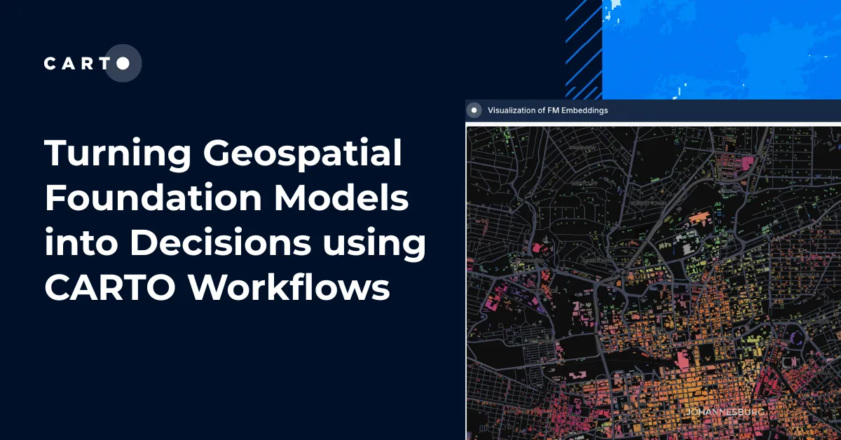
The gap between research and production is real. Many geospatial foundation models show promising results in academic settings but remain far from operational deployment. Closing this gap requires engineering investment, evaluation frameworks, and integration into real analytical workflows — exactly the kind of work that benefits from coordinated European effort.
Different model families serve different needs. Earth observation models and population dynamics models address fundamentally different questions. Europe needs capacity in both, but population dynamics models — which deal with sensitive behavioral data — are where sovereignty concerns are most acute.
Open models matter, but they’re not enough. Open-source models like Clay are valuable because they allow inspection and adaptation. But openness alone doesn’t guarantee sovereignty if the training data, compute infrastructure, and development roadmap are controlled externally.
Benchmarks and evaluation are lagging behind. Without European-specific benchmarks, it’s difficult to assess whether any model — domestic or foreign — adequately represents European spatial reality.
What Needs to Happen
Building sovereign geospatial foundation models for Europe is not a single project — it’s an ecosystem challenge. A few things would accelerate progress:
Dedicated funding for geospatial foundation models within European AI programs, recognizing them as strategic infrastructure rather than niche research.
European benchmarks for evaluating geospatial models against European spatial realities — urban structure, mobility, land use, demographics.
Public-private collaboration that connects the research strengths of European institutions with the operational experience of companies building geospatial products.
Data governance frameworks that enable model training on European behavioral data while respecting privacy — not as a barrier, but as a design principle.
Sustained investment in compute infrastructure through programs like the European AI Factory, ensuring that European teams can train competitive models without depending on external cloud providers.
CARTO’s Commitment
As a European company that has been working with spatial data for over a decade, CARTO is committed to contributing to this effort. Our collaboration with BSC through the European AI Factory is one concrete step — training population dynamics models on European infrastructure, with European data, for European use cases.
We also continue to integrate third-party models, including non-European ones, into our platform. Sovereignty doesn’t mean isolation. It means having the capacity to choose, to evaluate, and to build alternatives when needed.
The opportunity is clear. The infrastructure is emerging. The question is whether Europe will invest with the urgency and coordination that the moment requires.
We believe it should — and we’re working to make it happen.