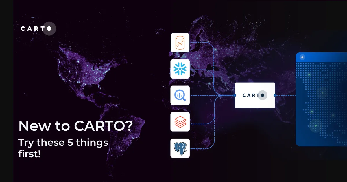
New to CARTO? Try these 5 things first!
New to CARTO? Discover the first 5 things to try, from running a cloud-native spatial analysis to creating your first map.
Spatial AnalyticsNew to CARTO? Discover the first 5 things to try, from running a cloud-native spatial analysis to creating your first map.
Spatial Analytics